Making heatwaves in cities more bearable
As a result of climate change, heatwaves are becoming more frequent – with particularly harmful effects on human health, livelihoods and infrastructure in cities. Changing land cover from natural to artificial materials like concrete and asphalt leads to increased energy storage, reduced water evaporation and decreased ventilation. “With our work, we want to contribute to finding solutions to improve citizens’ quality of life,” says João Leitão, professor at ETH Zurich and group leader in the Urban Water Management Department at Eawag.
Research has shown that one of the best methods for urban outdoor cooling is to increase the extent of green spaces and water areas. But how much can the temperature at a particular location really be reduced? To answer this question, Australian researchers developed a climate model called TARGET, short for “The Air-temperature Response to Green/blue-infrastructure Evaluation Tool”. “We investigated how good TARGET’s predictions are and whether such a tool is suitable for urban planning,” says Leitão.
A quick and simple model
In contrast to other, complex numerical models that require a lot of computational power, TARGET is quick and simple. As input, it requires meteorological data as well as geographical data indicating what materials the city is covered with and how high the buildings and how wide the streets are. Based on this information, TARGET generates surface and air temperature predictions for the respective locations. “So it’s a spatial model,” explains Jixuan Chen, a PhD student in Leitão’s group and lead author of the TARGET study. “The model shows, for example, that the air temperature is higher in a certain place because there is more concrete there, or that it’s cooler in forested areas.”
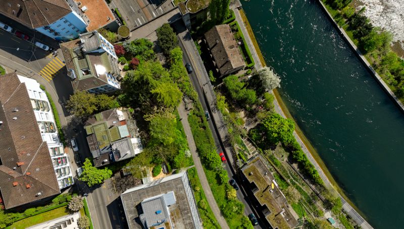
To test how well TARGET’s predictions match reality, the researchers chose Zurich as a case study – an area of around 29 km2 that includes the city centre along the River Limmat and the large, green areas of Käferberg and Zürichberg. Surface and air temperatures for various locations were calculated during a hot period in the summer of 2023.
The researchers compared the results of the simulations with the temperature values measured directly on site. They used data from the Meteoblue weather service, which has a network of over 40 stations in the study area, as well as citizen-managed weather stations (Netatmo) that provide outdoor temperature measurements on a voluntary basis. The result: “The TARGET simulation closely matches the private weather network data,” summarises Chen. “The model indicates the temperatures correctly, so it’s a reliable tool to predict surface and air temperatures in cities.”
Air temperature drops by 1.2 degrees Celsius
In a further step, the researchers investigated how areas with different proportions of blue-green spaces differ in terms of temperature. “We wanted to know how the surface and air temperature would change if we made our cities greener,” explains Leitão. Applying the model to the Zurich case study showed that the air temperature drops by around 1.2 degrees Celsius if the blue-green spaces are increased from between 0 and 20% to between 60 and 80%. It becomes a further 4 degrees Celsius cooler if the site is converted into an urban forest. Thus, during the summer days studied, it was up to 5.2 degrees Celsius cooler on Käferberg than in Zurich’s city centre.
“1.2 degrees Celsius in the city is not much,” admits Leitão. “Nevertheless, the transformation is worthwhile because additional blue-green areas fulfil other functions or ecosystem services.” They can also absorb rainwater better, increase biodiversity and create recreational spaces. To counteract the heat even more, wind corridors could be created to bring cooler air from the surrounding forests into the city centre. “This could probably result in another degree of cooling,” Leitão estimates. “Even that is not a huge amount, but all of this together can really help to reduce the air temperature.”
Where improvements are most effective
The analysis of the study results also shows how much cooling can be expected from different types of blue-green ground cover at a particular location. Trees, for example, proved to be about twice as effective as irrigated lawns. In order to decide where an intervention would be particularly effective, the researchers also considered how many people were present in the various areas in Zurich using data from 20 automatic stations of the City of Zurich, which record the number of pedestrians and cyclists every 15 minutes.
“Places with a high volume of pedestrian and bicycle traffic and low blue-green cover are to be prioritised,” says Chen. “Improvements would be particularly effective there.” In Zurich, for example, this would include the Bucheggplatz traffic junction or the particularly busy Langstrasse. In a further study, Chen is now investigating how much the temperature there could be lowered during a heatwave by spraying the streets with water beforehand, as is already done in Japan.
“TARGET can be used to compare different planning scenarios and determine the locations where an intervention is particularly beneficial,” concludes Leitão. “The tool is well suited to future urban planning anywhere in the world.” Therefore, TARGET is now becoming part of a module that will be generally accessible in a geographic information system QGIS. To achieve this goal, the Eawag researchers are collaborating with their colleagues in Australia, Sweden and Belgium. “This software can manage all the input data so that city planners or landscape architects can easily use the model in the future to improve quality of life in cities,” explains Leitão.
