Scientists quantify aerosols based on sea state
Aerosols are tiny particles suspended in the air that play an important role in cloud formation, precipitation and the reflection of sunlight back into space. Quantitative data about aerosols are important factors in making weather forecasts and climate change predictions. Depending on their composition, size and altitude, aerosols can influence our planet’s energy balance in complex ways by either cooling down or warming up the atmosphere.
Oceans, which cover over 70% of the Earth’s surface, produce sea spray aerosols – the natural aerosols with perhaps the biggest impact on the planet’s radiation balance. “Yet we still don’t have a clear grasp of the quantity of sea spray aerosols produced, making them a large source of uncertainty today in weather and climate models,” says Julia Schmale, a professor at EPFL’s Extreme Environments Research Laboratory–Ingvar Kamprad Chair, which is based in Sion. She and a team of scientists from other universities[1] have developed a novel system for relating the concentration of sea spray aerosols to the ocean state using commercially available cameras. Their system, designed for use on a ship, can record the surrounding aerosol concentrations, atmospheric conditions and ocean wave characteristics. The team collected its first set of data on a research vessel in the Arctic Ocean and recently published its findings in Atmospheric Environment.
A low-cost system usable on different ships
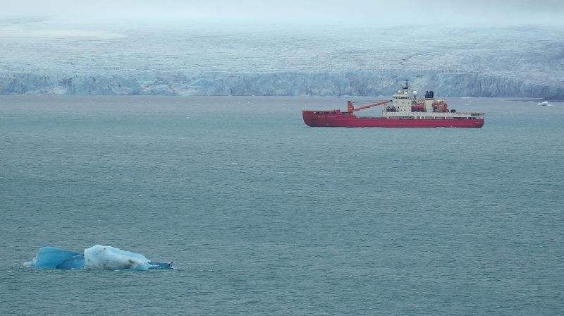
For their system’s inaugural run, the scientists chose an icebreaker traveling across the harsh Arctic waters – and specifically the Barents and Kara Seas near the North Pole – for a very good reason. “The formation of sea spray aerosols is highly erratic in this region, partly because the sea ice is shrinking and more and more individual floes float around and there’s more open water now,” says Schmale. “We expect to see very significant changes in the coming years.”
Today, most data on sea spray aerosols are collected by satellites or from coastal observatories, but analyzing these data gives only part of the picture. To fill in the gaps, the scientists’ system also collects information on the sea state using two standard cameras mounted on the ship’s deck. These cameras give researchers a stereoscopic view enabling them to generate 3D images of the sea surface, even in choppy waters. Algorithms crunch through the data on wave characteristics (e.g., their height, steepness and age) and combine them with aerosol measurements and data on atmospheric conditions (e.g., temperature, precipitation and wind speed). “This process gives us an excellent temporal resolution of around one second for both the sea and atmospheric measurements,” says Schmale, who received a grant for this research from EPFL’s Center for Imaging.
Using sea and atmospheric data to estimate aerosol concentrations
The research team’s initial findings provide information on which physical variables (sea state, wind speed and atmospheric stability) affect sea spray aerosol production in this part of the Arctic in the summer. “To validate the new set up, the first step was to confirm our common-sense assumption that aerosol production is highly correlated with ice conditions,” says Schmale. “In other words, more aerosols are emitted when there’s relatively more water and less ice. And when the ice is compact, there are much less direct aerosol emissions in summer. But we could find out way more.”
The findings also suggest that sea-spray aerosol concentrations are heavily influenced by the stability of the marine boundary layer, which is the lowest layer of the atmosphere above the sea. This layer experiences turbulent air currents, especially near the water surface when waves are formed. By combining data on wave characteristics with those on atmospheric conditions, the scientists developed a formula for predicting aerosol concentrations. Could this allow researchers more accurately incorporate sea spray aerosols into their climate models? “Yes, but first more studies like ours are needed on a variety of oceans,” says Schmale. “Conditions can vary considerably depending on the season, weather and exact location.” For instance, results from the North Pole can’t be applied to the South Pole owing to the much stronger winds in the Antarctic. Yet the scientists’ low-cost, simple-to-install system could easily be used on numerous ships in the future in order to gather data from all corners of the globe.
