CHF 1.5 million for research into digitalisation in spatial planning
Online plans and maps are useful. But how does it affect results when planning takes place in the digital realm? What role do software companies play, and are the processes still politically and socially just? WSL spatial planner Anna Hersperger has received a prestigious SNSF Advanced Grant to answer questions like these.
Anna Hersperger, why do we need to study the digitalisation of spatial planning?
Planning public space is, after all, a highly political process. That is why it is important to know who benefits from the digital transformation and who does not. For example, digitalisation is being driven strongly by technology companies that develop software. But at present, we lack information about what the effects are.
What is being digitised?
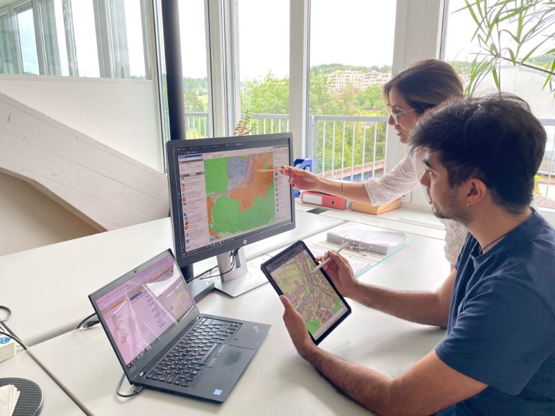
In the past, spatial planning plans – such as zoning or structure plans – were created in the form of maps and reports on paper and were publicly accessible. Today, this is being replaced. In the future, everything will be digitally recorded on platforms such as GIS browsers, in PDF format or in other text formats. At the moment, the paper form is often still the legally binding form, but this will change.
Why is that a problem? It sounds useful.
Yes, it has many advantages. These are particularly emphasised in research and development. In this research project, we want to develop a method to capture all effects in a balanced way. This is a challenge because we expect that many effects occur on a small scale but are relevant in sum. For example, municipalities have a lot of freedom in spatial planning. However, not all of them are included in the standard settings of a software program, which is why municipalities may make less use of their options.
What else could digitalisation change?
It could change which groups of people participate in the planning process. All planning projects must ultimately be approved at municipal assemblies or in referendums. That's why the population must be involved, otherwise there will be resistance. This participation is a very important part of spatial planning. But if this takes place online, i.e. if you can access the plan and comment on it, this appeals to different people than traditional workshops in the town hall. People who are less digitally savvy might be less likely to get involved. This could potentially change the result of the planning, i.e. the plans themselves, but also how transparent or fair it is.
Private companies are developing digital technologies. What does that mean?
There are a few dominant software companies worldwide in spatial planning, which gives them a lot of power in an area that was previously dominated by the local political context. That is one of our working hypotheses. Artificial intelligence is also increasingly being used, for example, to summarise plans. We are investigating what is being used by practitioners and what the effects are.
How do you study this?
Firstly, we will study the practice of how planners use these technologies. Secondly, we will focus on the motivations of the providers of planning technologies. These are, on the one hand, technology companies that develop GIS and planning software, but also consulting firms that advise public authorities. The third focus is on the online portals themselves and how the data and algorithms behind them affect the outcome of the planning.
What is the goal of your research?
We want to reveal the influences and interactions of technologies, data and algorithms on plans and the planning process. We want to draw attention to the topic. Digitalisation has more or less taken planning by storm, but its effects are not clear and there are no gold standards or best practices. A large project like this is needed to take a comprehensive look. If we were to examine only individual aspects, we would end up with no understanding of how digitalisation is to be assessed and where we need to look particularly closely. That's why the Advanced Grant is truly an extraordinary opportunity.
About the peron
Anna Hersperger is an ETH spatial planner, head of the WSL Land Use Systems research group and a member of the WSL Directorate. She investigates how spatial planning instruments and processes affect and change public space. In 2015, she received an SNSF Consolidator Grant of over CHF 2 million for a project on the influence of spatial planning on the development of urban regions. She is an honorary professor at the University of Bucharest.
SNSF Advanced Grants
As a non-associated third country, Switzerland is excluded from the EU's Horizon Europe research programme and its prestigious, competitive research grants, the ERC Advanced Grants. That is why the Swiss National Science Foundation SNSF launched the SNSF Advanced Grants 2023 transitional measure on behalf of the federal government. This is aimed at researchers who wanted to apply for an ERC Advanced Grant. Sixteen researchers have now been awarded an SNSF Advanced Grant, five women and eleven men. Six of the funded projects are in the fields of mathematics, natural sciences and engineering, five in the life sciences and five in the humanities and social sciences.
